
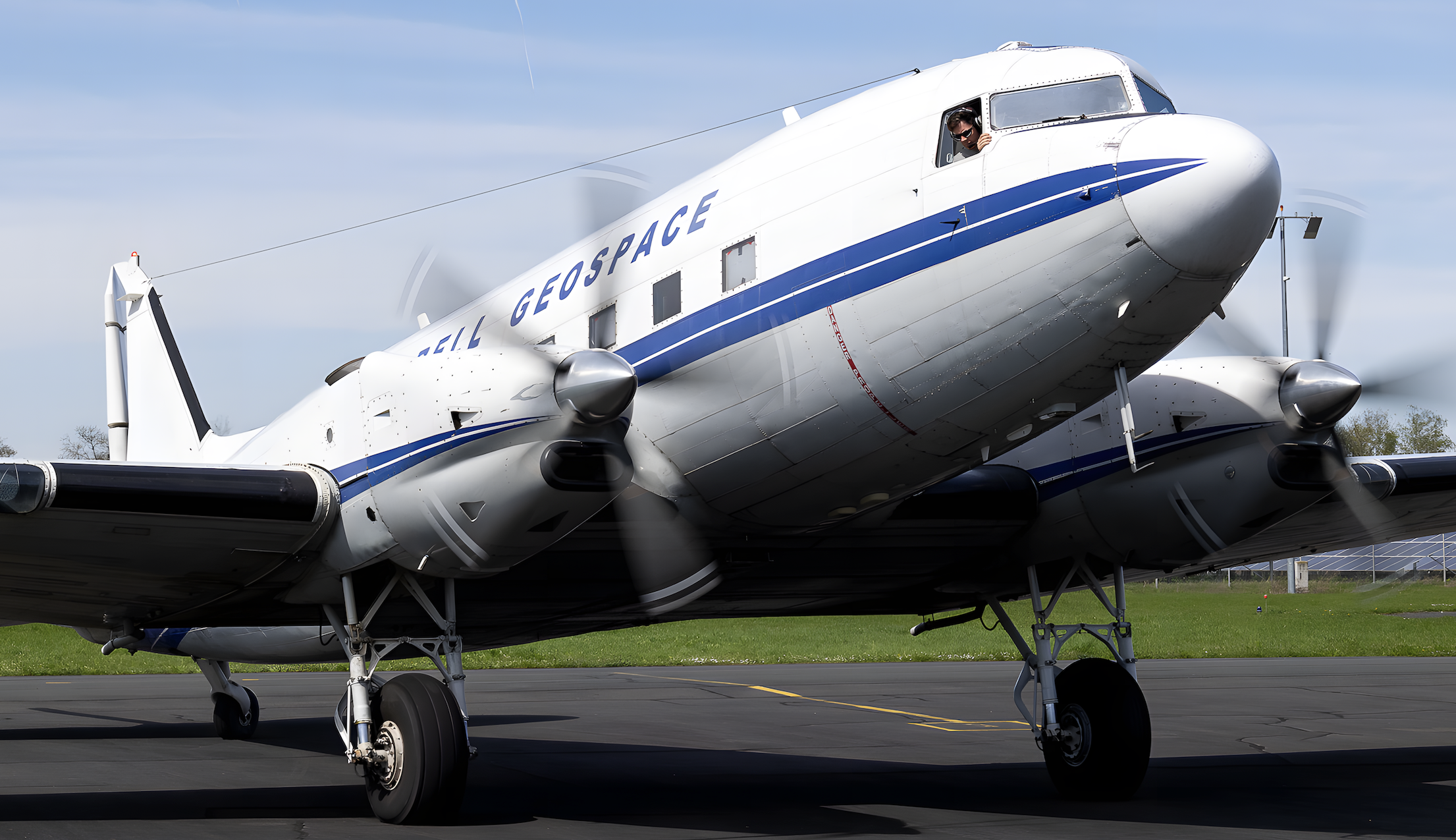
Even in mature exploration basins across onshore India, areas of sparse or low-quality seismic and ground geophysical data can stall critical projects. Legacy surveys are limited by slow acquisition speeds, poor terrain access, and station spacing that often stretches beyond two kilometres. Samit deployed airborne FTG, via Basler BT67 aircraft, to measure gravity gradients continuously across the target regions, mapping structural information from regional tectonic elements down to prospect-scale fault systems.
Legacy geophysical surveys provided limited structural understanding. Ground gravity data was constrained by station spacing and levelling precision. Operators needed a rapid way to bridge the scale gap between broad regional gravity and high-resolution seismic, and to reduce exploration uncertainty across frontier, emerging, and mature assets alike.
Survey design was customised to each asset's stage of maturity:
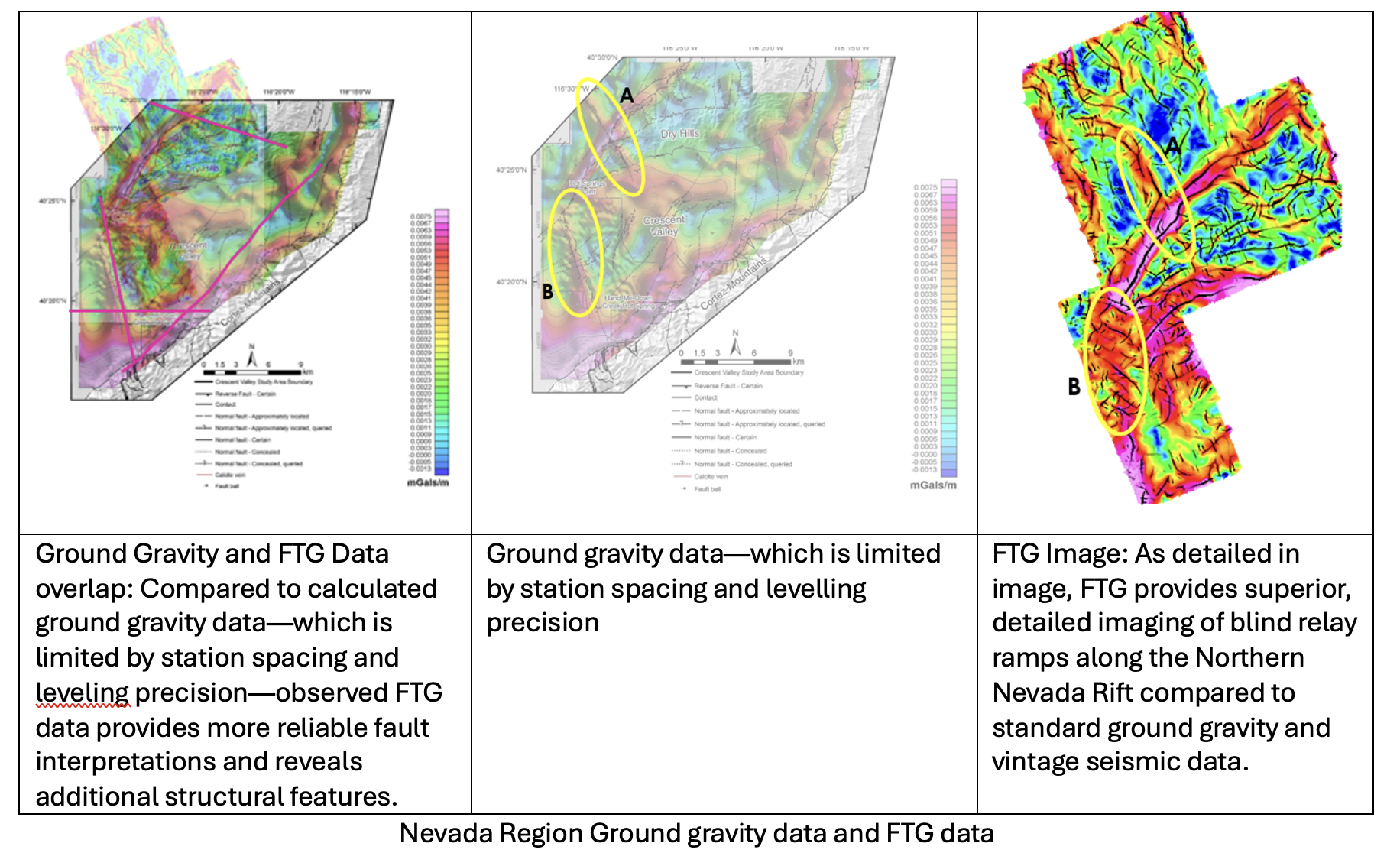
The Barmer-Sanchor Rift System in India shares a remarkably similar tectonic evolution with the Basin and Range Province in Nevada, US, both shaped by continental extension, lithospheric thinning, and normal faulting. Because these density-controlled structural features are identical across both regions, the FTG techniques already proven in Nevada's energy and mineral exploration were applied directly to the onshore Indian basins. The resulting data provided superior, detailed imaging of blind relay ramps and faults, compared to calculated ground gravity and vintage seismic data.
Samit delivers advanced geoscience and data-driven solutions that enable better subsurface understanding, reduce risk, and support confident decision-making across the hydrocarbon energy and minerals sectors.